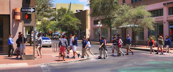
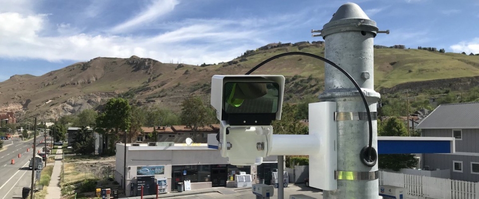
Pedestrian safety is critical to improving walkability in cities. To that end, NITC researchers have developed a system for collecting pedestrian behavior data using LiDAR sensors. Tested at two intersections in Texas and soon to be tested at another in Salt Lake City, Utah, the new software created by a multi-university research team is able to reliably observe pedestrian behavior and can help reduce conflicts between pedestrians and vehicles at signalized intersections. The Utah Department of Transportation (UDOT) is already working on implementing this new system to improve data collection at intersections.

Learn more in a free webinar May 18. 

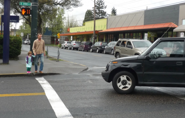
The LiDAR system can especially improve multimodal travel at intersections with permissive left turns, which are indicated by a flashing yellow arrow. Previous research has shown that where a flashing yellow arrow, or FYA, is present, cars searching for a gap in traffic may not look for pedestrians. To remove the risk to people walking, some signals are programmed to turn off the FYA when a walk button is pushed. But...

Read more
How can we use a variety of data-driven speed management strategies to make transportation safer and more efficient for all modes–whether you’re driving, walking or taking transit?

The project was led by Yao Jan Wu, director of the Smart Transportation Lab at the University of Arizona. Co-investigators were Xianfeng Terry Yang of the University of Utah, who researches traffic operations and modeling along with connected automated vehicles, and Sirisha Kothuri of Portland State University, whose research has focused on improving signal timing to better serve pedestrians. Join them on Sept 15, 2021 for a free webinar to learn more.

"We want to improve mobility for all users, be it pedestrians, vehicle drivers or transit riders, and there are different strategies to do this. How do we harness data to drive us to these strategies?" Kothuri said.

Funded by the National Institute for Transportation and Communities (NITC), this multi-university collaboration addressed the question from three angles:

  • Wu and his students in Arizona looked at the impact of speed management strategies on conventional roadways...
Read more

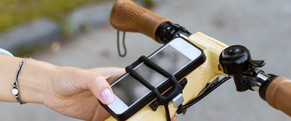
Led by Dr. Stephen Fickas of the University of Oregon (UO),  transportation researchers are working to give bicyclists smoother rides by allowing them to communicate with traffic signals via a mobile app. 

The latest report to come out of this multi-project research effort introduces machine-learning algorithms to work with their mobile app FastTrack. Developed and tested in earlier phases of the project, the app allows cyclists to passively communicate with traffic signals along a busy bike corridor in Eugene, Oregon. Researchers hope to eventually make their app available in other cities.

"The overall goal is to give bicyclists a safer and more efficient use of a city’s signaled intersections. The current project attempts to use two deep-learning algorithms, LSTM and 1D CNN, to tackle time-series forecasting. The goal is to predict the next phase of an upcoming, actuated traffic signal given a history of its prior phases in time-series format. We're encouraged by the results," Fickas said.

Their latest work builds on two prior projects, also funded by the National Institute for Transportation a Communities: in which Fickas and his team successfully built and deployed a hardware and software product called ‘Bike Connect’ which allowed people on bikes to give hands-free advance...

Read more
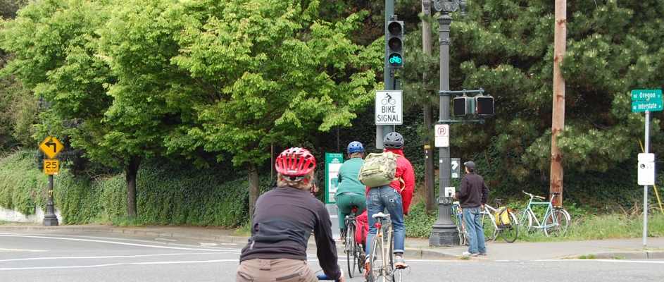
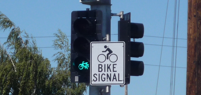
Cyclists riding toward a green bike signal
Principal Investigator: Sirisha Kothuri, Portland State University
Learn more about this research by viewing the Executive Summaries, related presentations, and the full Final Report on each Project Overview page.

Sirisha Kothuri, a Portland State University research associate, has recently completed two distinct studies taking different approaches to advancing bicycle safety. Kothuri will lead a Sept. 13 workshop on Bicycle/Pedestrian Focused Signal Timing Strategies along with Peter Koonce, the division manager of Signals & Street Lighting for the City of Portland. The half-day workshop will be part of Transportation and Communities 2018, a two-day...

Read more
Sirisha Kothuri (PI) and Chris Monsere, Portland State University and Edward Smaglik, Northern Arizona University

Pedestrians often have to wait longer than drivers for the light to change. Increased delay for pedestrians can lead to noncompliance, which can have a negative impact on safety. Most planning efforts geared toward those on foot have tended to focus on safety, but pedestrian efficiency is also...

Read more

A project led by Portland State University researchers Chris Monsere and Miguel Figliozzi has been nationally recognized as one of sixteen high value research projects by the American Association of State Highway and Transportation Officials (AASHTO).

Each year at its annual meeting, AASHTO's Research Advisory Committee selects four projects from each of its four regions to form a "Sweet Sixteen" group of important and influential projects.

The project, “Operational Guidance for Bicycle-Specific Traffic Signals,” reviewed the current state of practice for bicycle signals and evaluated cyclist performance characteristics at intersections. The research has been used to inform an FHWA Interim Approval for bicycle signals.

Bike signals are beginning to be common in major cities throughout the U.S., with some engineering guidance available from the California Manual on Uniform Traffic Control Devices, the...

Read more

Flashing-yellow-arrow traffic signals offer convenience for drivers by permitting them to turn left after yielding to oncoming traffic. This convenience, OTREC research has found, can come at the expense of safety, especially where the traffic mix includes pedestrians.

OTREC researchers David Hurwitz of Oregon State University and Christopher Monsere of Portland State University examined how driver behaviors affect pedestrian safety at flashing yellow arrows. Their findings show that drivers at these intersections often don’t even look for pedestrians.

This research will be the focus of OTREC’s first live interview-style Webinar May 7. Host Steph Routh of Oregon Walks will interview the researcher-practitioner team, explore real-world applications and take audience questions. The Webinar is free. Details are at this link:

Flashing-yellow-arrow Webinar

Flashing yellow arrows have been replacing other left-turn signals, such as solid green or flashing yellow or red circles, to indicate that drivers may turn after yielding to oncoming traffic. These turns are considered “permissive.” Turns where no conflicting traffic is present, such as those indicated with a green arrow, are “protected” turns. The flashing yellow arrow’s inclusion in the 2009 Manual on Uniform Traffic Control Devices sped up the signal’s adoption to...

Read more

In town to network and share research results, participants in the Region X Student Transportation Conference also saw the inner workings of the transportation system and even got to stop Portland traffic. 

The ninth annual conference drew around 75 people to Portland November 18. The conference showcases student transportation research in Oregon, Washington, Idaho and Alaska and is entirely organized and run by students.

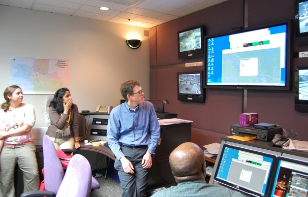
This year, the conference also featured breakout sessions and tours with working transportation professionals. Groups visited the Oregon Department of Transportation Region I incident management command center, dug into city of Portland traffic signal systems and operations, toured the city’s bicycle infrastructure and explored the mechanics of Portland’s drawbridges in detail with three bridge lifts.

Portland State University’s student group, Students in Transportation Engineering and Planning, or STEP, hosted the conference, which was sponsored by OTREC. The conference provides plenty of formal and informal opportunities for students working at different universities to inform each other, said Kristi Currans, an organizer with STEP.

“My favorite part is just having all the students get together and find out all the research everyone is doing,” Currans said. “Even within Portland State, if people are working for different professors, I might not know what they’re working on.”

The conference drew students from Portland State...

Read more

Why build bigger when you can get more out of what you already have? That’s a question agencies across the country have considered as they face costly expansions of roadway systems or are unwilling or unable to keep building.

Adaptive signal control technologies offer the promise of reducing congestion, smoothing traffic flow and improving safety on existing roads. The Federal Highway Administration has been holding regional summits about this technology across the country.

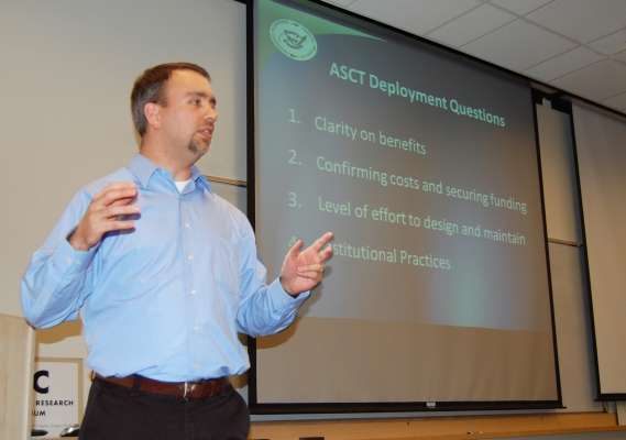
Metro hosted one of the summits Dec. 1 at the Intelligent Transportation Systems (ITS) laboratory at Portland State University. Federal Highway Administration ITS specialists Paul Olson and James Colyar gave an overview of the technology, which can:

  • Automatically adapt to changes in traffic
  • Improve travel time reliability
  • Reduce congestion and fuel consumption
  • Monitor and respond to gaps in traffic signal operations
  • Reduce complaints agencies get about bad signal timing

Adaptive technologies use data from sensors to adjust traffic lights, keeping the green light for as long as conditions warrant. The process updates in a few minutes what traditional signal retiming might accomplish only every few years.

The technology is best suited for arterials that receive variable or unpredictable traffic. On these roads, the signals can improve travel time, emissions and fuel consumption by 10 percent or more. Where signal timing has been...

Read more

PRESENTATION ARCHIVE

OVERVIEW

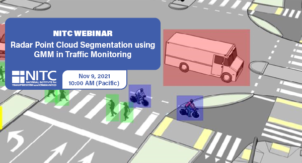
Intelligent transportation systems (ITS) change our communities by improving the safety and convenience of people’s daily mobility. The system relies on multimodal traffic monitoring, that needs to provide reliable, efficient and detailed traffic information for traffic safety and planning. How to reliably and intelligently monitor intersection traffic with multimodal information is one of the most critical topics in intelligent transportation research.

In multimodal traffic monitoring, we gather traffic statistics for distinct transportation modes, such as pedestrians, cars and bicycles, in order to analyze and improve people’s daily mobility in terms of safety and convenience.

In this study, we use a high-resolution millimeter-wave (mmWave) radar sensor to obtain a relatively richer radar point cloud representation for a traffic monitoring scenario. Based on a new...

Read more

Pages