
The video begins at 6:17.
PRESENTATION ARCHIVE
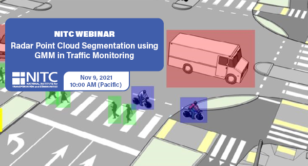
OVERVIEW
Intelligent transportation systems (ITS) change our communities by improving the safety and convenience of people’s daily mobility. The system relies on multimodal traffic monitoring, that needs to provide reliable, efficient and detailed traffic information for traffic safety and planning. How to reliably and intelligently monitor intersection traffic with multimodal information is one of the most critical topics in intelligent transportation research.
In multimodal traffic monitoring, we gather traffic statistics for distinct transportation modes, such as pedestrians, cars and bicycles, in order to analyze and improve people’s daily mobility in terms of safety and convenience.
In this study, we use a high-resolution millimeter-wave (mmWave) radar sensor to obtain a relatively richer radar point cloud representation for a traffic monitoring scenario. Based on a new...
Read more
Watch video
View slides
In the U.S., women are far less likely to bicycle for transportation than men. Explanations include, among others, safety concerns (traffic and crime), complex travel patterns related to household responsibilities, time constraints, lack of facilities that feel safe, and attitudes. This talk will explore how this gender gap emerges in childhood, using data from the Family Activity Study. The study collected data from 300 Portland families (parents and children) over two years, allowing us to see how things change over time.
Jennifer Dill is a Portland State University professor and the director of TREC. She teaches courses in transportation policy, pedestrian and bicycle planning, and research methods. Her research interests focus on the interactions of transportation planning, travel behavior, health, the environment and land use. In general, she is interested in answering these questions: How do people make their travel and location decisions? How do those decisions impact the environment? How do our planning decisions impact people's travel and location decisions? Prior to entering academia, she worked as an environmental and transportation planner.
The video begins at 0:29.
View slides
Speaker: Brian Saelens, Professor of Pediatrics and Psychiatry & Behavioral Sciences, Seattle’s Children’s Hospital & University of Washington
Topic: Links Between Public Transportation and Physical Activity (Effects of LRT on Physical Activity Based on Seattle GPS Study)
Summary: This seminar will explore the empirical evidence regarding the links between the use of public transportation and physical activity, with a specific focus on using integrated device and self-report methods to identify travel modes and physical activity.
Bio: Brian E. Saelens, Ph.D. is a Professor of Pediatrics and Psychiatry & Behavioral Sciences at the University of Washington and Principal Investigator at Seattle Children’s Research Institute. Dr. Saelens is a clinical/health psychologist. His interest areas include obesity treatment and prevention, especially in environmental factors and policies that influence physical activity and eating behaviors in children and adults. He has published over 150 peer-reviewed original investigation and review articles.
The video begins at 2:34.
View slides
Other presentation materials: Handout (PDF)
Summary: The recent City Club report on bicycling provided an opportunity to collect and analyze a number of data sets including the new Hawthorne Bridge data. One question is where Portland bicycling on the logistic curve -- a common tool for judging the maturity of a developing product or activity. Logistic curves are used for marketing, for epidemiology, and even for visits to Indian owned casinos. The preliminary evidence is that we are reaching the horizontal area of the curve. Additional evidence Our further research into future policies indicates a shift to bicycle boulevards in order to attract more risk averse riders.
Bio: Robert McCullough is an energy economist (and an adjunct at PSU) who has written, talked, and testified on energy issues across the U.S. and Canada. He was instrumental in the identification and prosecution of Enron's energy traders. He also works with aboriginal groups in Quebec and Oregon, activists in California and Ohio, as well as many others. His most recent project is the economic review of the WNP-2 nuclear station for Physicians for Social...
Read more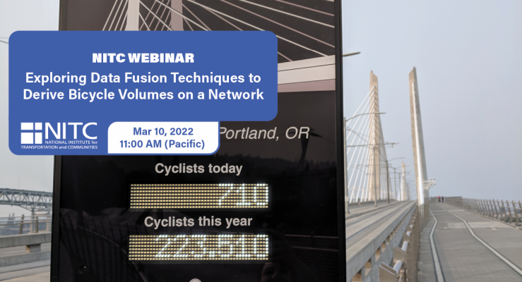
PRESENTATION ARCHIVE
OVERVIEW
Planners and decision makers have increasingly voiced a need for network-wide estimates of bicycling activity. Such volume estimates have for decades informed motorized planning and analysis but have only recently become feasible for non-motorized travel modes.
Recently, new sources of bicycling activity data have emerged such as Strava, Streetlight, and GPS-enabled bike share systems. These emerging data sources have potential advantages as a complement to traditional count data, and have even been proposed as replacements for such data, since they are collected continuously and for larger portions of local bicycle networks. However, the representativeness of these new data sources has been questioned, and their suitability for producing bicycle volume estimates has yet to...
Read more