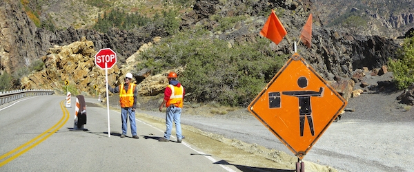
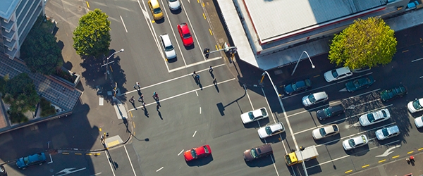
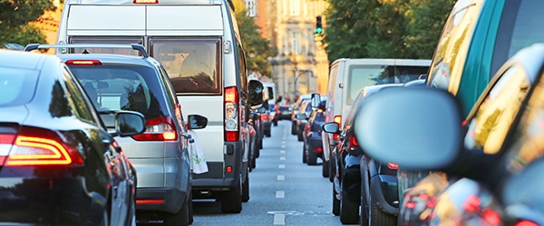
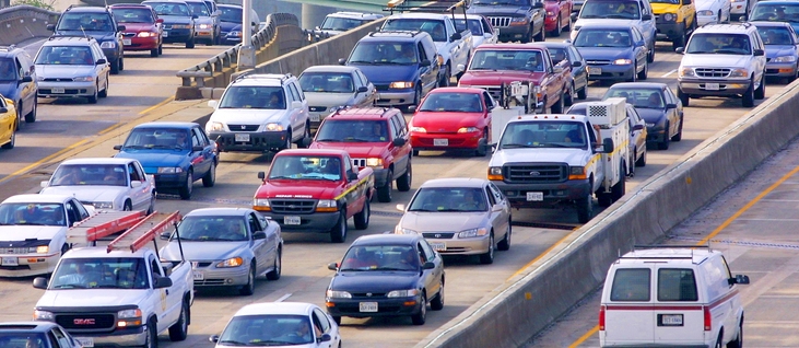
Roadside construction – be it a detour, a closed lane, or a slow weave past workers and equipment – work zones impact traffic flow and travel times on a system-wide level. The ability to predict exactly what those impacts will be, and plan for them, would be a major help to both transportation agencies and road users. Funded by the National Institute for Transportation and Communities, the latest Small Starts project led by Abbas Rashidi of the University of Utah introduces a robust, deep neural network model for analyzing the automobile traffic impacts of construction zones.

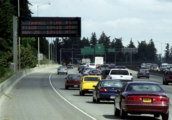
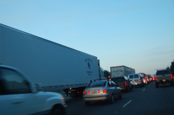
The top three causes of non-recurring traffic delays are crashes, work zones, and adverse weather conditions, with work zones accounting for 10% of all non-recurring delays. Precise work zone impact prediction could significantly alleviate fuel consumption and air pollution.

"Machine learning and deep learning are powerful tools to build different types of data and predict future situations. Using AI for analyzing data is the future of transportation engineering in general," Rashidi said.

The Utah Department of Transportation (UDOT) collects various types of data related to work zone operations. Working with these data, Rashidi and graduate research assistant Ali Hassandokht...

Read more
Connected Vehicles Illustration showing icons of wifi over a road
Image by metamorworks/iStock
Xianfeng Yang, University of Utah; Mingyue Ji, University of Utah

Now that we are decades into the Age of Information, it's increasingly important to minimize the age of information: that is, to make sure the information we have is the very latest.

In the world of connected vehicle technology, Age of Information (AoI) is a concept that was introduced in 2012 to quantify the “freshness” of knowledge...

Read more
Cars waiting at a traffic signal
Photo by Canetti
Principal Investigator: Gerardo Lafferriere, Portland State University
Learn more about this research by viewing the Executive Summary and the full Final Report on the Project Overview page.

Automobile traffic congestion in urban areas comes with significant economic and social costs for everyone. According to the 2015 Urban Mobility Report, the total additional cost of congestion was $160 billion. As more people move to metropolitan areas, the problems only intensify. The latest NITC report offers a new approach to urban traffic signal control based on network consensus control theory which is computationally efficient, responsive to local congestion, and at the same time has the potential for congestion management at the network level.

Traffic signals represent a significant bottleneck. As...

Read more
Principal Investigator: Reid Ewing, University of Utah
Learn more about this research by viewing the two-page Project Brief, related presentations, and the full Final Report on the Project Overview page.

A new report from the University of Utah uses data to settle a debate that has been ongoing among transportation researchers since the 1990s: what are the effects of compact development on traffic congestion?

One camp argues that dense, compact development with a mixture of land uses will ultimately relieve congestion by encouraging fewer auto trips. On the opposite side, proponents of highway-induced, sprawling development argue that sprawl decreases congestion by funneling traffic away from dense areas, acting as a "traffic safety valve."

Led by Reid Ewing of the University of Utah and Shima Hamidi of the University of Texas at Arlington, this NITC study sought to address the question through cross sectional data. So which of these forms of urban development is better at reducing area-wide traffic congestion?

Surprisingly, neither.

Ewing and Hamidi arrived at the conclusion that development density—whether compact...

Read more

A new NITC report examines metropolitan centers: high-density developments in metropolitan regions.

Mixed-use transit-oriented developments are one example of a metropolitan center, but high-density developments in suburban areas without transit also fit the definition.

Across the country, metropolitan planning organizations (MPOs) are steering cities toward this type of development for a variety of reasons.

Many of them are facing the same constraints: poor air quality and increased congestion without an increase in dollars to solve it. One response to the problem involves getting a better handle on land use.

NITC researchers Richard Margerum and Rebecca Lewis of the University of Oregon and Keith Bartholomew of the University of Utah evaluated the planning process surrounding metropolitan centers in two case study regions, Denver and Salt Lake City.

“A lot of regions are paying attention to regional growth patterns. How do you do this at a regional scale when you don’t have the authority? What planners and MPOs are really facing is the question of how to support the adoption of these kinds of concepts,” Margerum said.

The goal of the study was to examine...

Read more

Traffic congestion on urban roadways can influence operating costs and cause travel delays.

Portland State University master’s students Nicholas Stoll and Travis Glick will present a paper introducing solutions for locating the sources of congestion at the 2016 annual meeting of the Transportation Research Board.

With their faculty advisor, Miguel Figliozzi, Stoll and Glick looked into using bus GPS data to identify congestion hot spots.

By using high-resolution GPS data to visualize trends in bus behavior and movement, the researchers were able to examine the sources of delay on urban arterials.

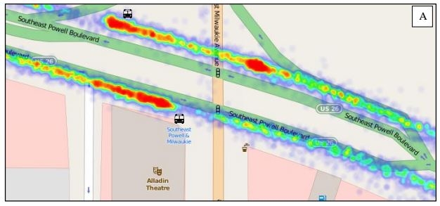
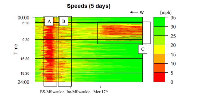
These visualizations, which can be in the form of heat maps or speed plots like the one shown here on the right (an application of numerical method applied to a 2,000 ft segment of SE Powell), can be used by transportation agencies to identify locations where improvements are needed. For example, adding a queue jump lane at a congested intersection can improve flow.

The researchers used fine-grained bus data provided by TriMet to create the visualizations. Buses have been used as probes to estimate travel times before, but with...

Read more

For the first time, researchers have shown that installing light rail on an existing travel corridor not only gets people out of their cars, but reduces congestion and air pollution.

In the study, planners at the University of Utah measured impacts of a new light rail line in Salt Lake City (University Line) on an existing major thoroughfare (400/500 South). Their analysis showed that traffic near the University has fallen to levels not seen since the 1980s, even as the number of students, faculty and staff at the university has increased, and the commercial district along the corridor has expanded.

"This is the first study to document important effects of light rail transit on traffic volumes,” said Reid Ewing, professor of city and metropolitan planning at the University of Utah and lead author on the study. “Since the University TRAX line opened, there has been increased development in the 400/500 South travel corridor, yet traffic on the street has actually declined. Our calculations show that without the University TRAX line, there would be at least 7,300 more cars per day on 400/500 South, and possibly as many as 21,700 additional cars. The line avoids gridlock, as well as saves an additional 13 tons of toxic air pollutants. This is important knowledge for shaping future transportation policies.”

Andrew Gruber, executive director of the...

Read more
OTREC research recently helped the Oregon Department of Transportation (ODOT) determine where to place traffic management devices.
 
Driving down the freeway, motorists usually appreciate seeing lit-up signs with changing numbers that tell the estimated drive time to an upcoming location. These variable message signs (VMS), also called changeable (CMS) or dynamic message signs (DMS), provide drivers with information that helps them make route decisions.
 
The Federal Highway Administration (FHWA) has put a high priority on the use of VMS to provide travel time estimates to the public.
 
Drive times on the VMS are estimated based on sensors which measure the speed of traffic, and an algorithm to calculate how the traffic will flow.
 
Given the many variables involved, it can be challenging to estimate reliable drive times. ODOT is particularly challenged: the Portland area, with its tight, circular freeway system, can become severely congested after only a couple of minor incidents.
 
That means Dennis Mitchell, ODOT’s Region 1 Traffic Engineer, has an interesting job.
 
Traffic engineers work to ensure the safety and efficiency of public roadways and transportation systems. Mitchell constantly looks for ways to...
Read more

An OTREC project recently took an in-depth look at the travel-time and health-related effects of a new implementation of a state of the art adaptive traffic system.

Southeast Powell Boulevard is a multimodal urban corridor connecting highway US-26 through Portland, Oregon. The corridor is highly congested during morning and evening peak traffic hours. In October 2011, an adaptive traffic system called SCATS was deployed.

The primary function of SCATS, or Sydney Coordinated Adaptive Traffic System, is to mitigate traffic congestion. Using sensors (usually inductive loops) at each traffic signal, the system tries to find the best cycle time and phasing along the corridor as traffic demand patterns change.

In this integrated multimodal study, OTREC researchers looked at the corridor’s traffic speed and transit reliability, before and after the implementation of SCATS. In addition, a novel contribution of this study was to study the link between signal timing and air quality.

To determine the impact of SCATS on traffic and transit performance, researchers established and measured performance measures before and after SCATS. The researchers used data provided by TriMet, Portland's transit authority, to compare transit times before and after SCATS as well as traffic volume data from two Wavetronix units that were installed by the City of Portland; these units collect traffic counts, speeds and classifications. For the air quality study, TriMet also...

Read more

Pages