The video begins at 0:48.

View slides

Speaker: Darwin Moosavi, MURP, Portland State University
Topic: Capturing the Ride: Exploring Low-Density Flexible Transit Alternatives in Salem-Keizer

Summary: Current fixed-route transit service provided by Salem-Keizer Transit is inefficient in the low-density neighborhoods of West Salem, South Salem, and Keizer. The lack of sidewalks, non-gridded circuitous streets, and large single-family residential lots all contribute to a lack of ridership. As a result, traditional fixed-route transit service is not cost-effective in these areas. Through a five month planning process, a group of Portland State University graduate students, better known as Paradigm Planning, tackled the task of addressing this problem in each of the three study areas. Paradigm’s planning process explored mode and route options in order to produce a plan that provides innovative and feasible alternatives to current transit service that will better meet the needs of the community. Through an intensive community engagement process, the residents in each neighborhood were given a voice in shaping the future of transit in their neighborhood.

Bio: Darwin Moosavi is a Master in Urban & Regional Planning candidate at Portland State University and Project...

Read more
Steve Szigethy and Jamison Kelleher, a team of graduate students in PSU's Master of Urban and Regional Planning program, will present their Planning Workshop project entitled "Imagine 82nd." The project engaged residents, businesses, property owners and students along NE 82nd Avenue in Portland to develop a comprehensive vision for the future of the corridor. Imagine 82nd deals with the portion of 82nd Avenue between the Banfield Expressway and NE Sandy Boulevard, 1.3 miles in length. This particular stretch is home to many retail and service businesses that typify the rest of 82nd Avenue, but it also includes Madison High School, a major corporate headquarters, and a 20-acre vacant brownfield site. At this seminar, Steve Szigethy and Jamison Kelleher will present the vision concepts they developed with the community, with particular emphasis on transportation and land use components.

The video begins at 5:54.


PRESENTATION ARCHIVE

OVERVIEW

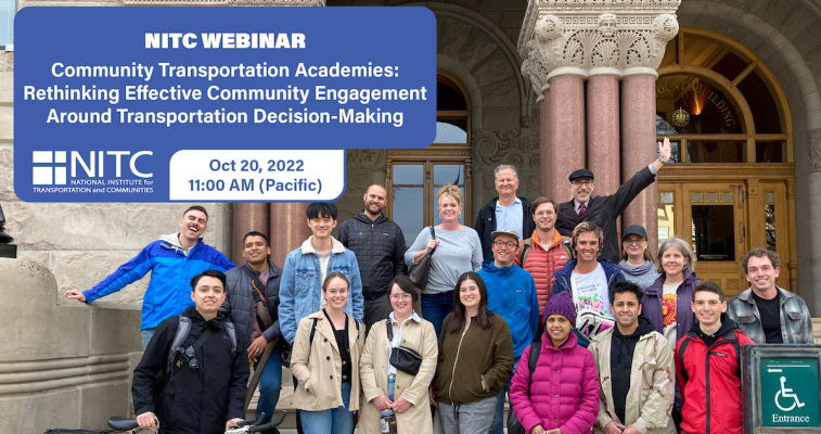
This webinar will introduce you to the concept of the Community Transportation Academy (CTA), a model which has been operating in Portland for over 30 years in the form of the Portland Traffic and Transportation (PTT) class. Now catching on in other cities, the project team recently implemented the Wasatch Transportation Academy (WTA) in Salt Lake City. The presenters also include key stakeholders (and guest lecturers) in the WTA, and the PTT instructor. The presentation will include discussions about why CTAs can be good for both community members and transportation agencies/practitioners, and how you can bring a CTA to your city.

KEY LEARNING OUTCOMES

  • How to make interactions between community members and transportation agencies more effective
  • How to increase human capital and community capacity by teaching community members how and where they can engage in transportation decision-making processes
  • Lessons from transportation...
Read more

tr*NEW* LOCATION: Karl Miller Center at PSU, 631 SW Harrison St., Room 465
*NEW* REGISTRATION: Sign up through GoToWebinar

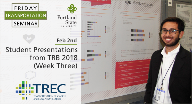
Portland State University students share the work they presented at the annual meeting of the Transportation Research Board (TRB) 2018:

SEMINAR VIDEO

Read more

The video begins at 1:20.

View slides: Foster Presentation (PDF)

View slides: Muhs Presentation (PDF)

View slides: Wagner Presentation (PDF)

Summaries:

Evaluating Driver and Pedestrian Behaviors at Enhanced Multilane Midblock Pedestrian Crossings: Case Study in Portland, Oregon This study examines driver and pedestrian behaviors at two enhanced midblock pedestrian crossings in Portland, Oregon. One crossing is on a five-lane arterial with a posted speed of 35/45 miles-per-hour (MPH) and features six rectangular rapid flash beacon (RRFB) assemblies and a narrow median refuge. The other crossing is on a suburban arterial with four travel lanes and a two-way left-turn lane. The crossing is enhanced with four RRFB assemblies and a median island with a “Z” crossing, or Danish offset, designed to encourage pedestrians to face oncoming traffic before completing the second stage of their crossing. Approximately 62 hours of video have been collected at the two locations. A total of 351 pedestrian crossings are analyzed for driver compliance (yielding) rates, pedestrian...

Read more

View slides from Jennifer Dill's presentation

The video begins at 6:57.

Watch video

View slides: Bell Presentation (PDF)

Moore Presentation (PDF)

Ma Presentation (PDF)

Summaries: 
Identification and Characterization of PM2.5 and VOC Hot Spots on Arterial Corridor by Integrating Probe Vehicle, Traffic, and Land Use Data: The purpose of this study is to explore the use of integrated probe vehicle, traffic and land use data to identify and characterize fine particulate matter (PM2.5) and volatile organic compound (VOC) hot spot locations on urban arterial corridors. An emission hot spot is defined as a fixed location along a corridor in which the mean pollutant concentrations are consistently above the 85th percentile of pollutant concentrations when considering all other locations along the corridor during the same time period. In order to collect data for this study, an electric vehicle was equipped with instruments designed to measure PM2.5 and VOC concentrations. Second-by-second measurements were performed for each pollutant from both the right and left sides of the vehicle. Detailed meteorological, traffic and land use data is also...

Read more

Pages