PRESENTATION ARCHIVE

OVERVIEW

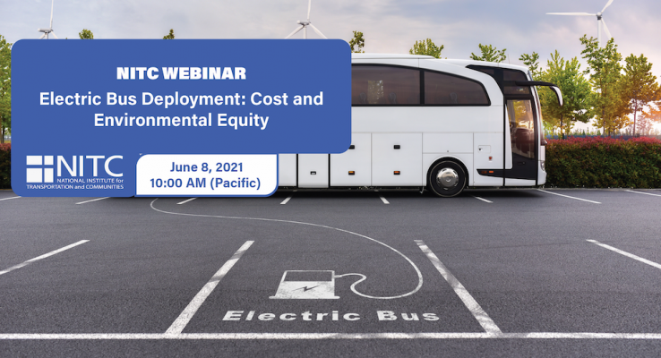
This presentation introduces an innovative spatiotemporal analytical framework and web-based visualization platform developed by researchers at the University of Utah to assist transit agencies in identifying optimal deployment strategies for a battery-electric bus (BEB) system by using a combination of mathematical programming methods, GIS-based analysis, and multi-objective optimization techniques. The framework allows transit agencies to optimally phase in BEB infrastructure and deploy the BEB system in a way that can minimize the capital and operational cost of the BEB system while maximizing its environmental benefits (i.e., emission reduction).

KEY LEARNING OUTCOMES

  • Introduction to a bi-objective spatiotemporal optimization model for the strategic deployment of BEBs to minimize the cost of purchasing BEBs, on-route and in-depot charging stations, and to maximize environmental equity for disadvantaged populations.
  • The optimization considers the unique constraints imposed by BEB...
Read more

PRESENTATION ARCHIVE

OVERVIEW

Older adults often face challenges with mobility and accessibility, which can limit their independence and quality of life. This seminar will explore these issues and lessons learned from the research to improve travel experiences and satisfaction for older adults.

KEY LEARNING OUTCOMES

  • Highlights the importance of considering diverse dimensions of older adults' needs.
  • Found a significant dissatisfaction and vulnerability experienced by older adults with limited mobility.
  • Identified the need for addressing the critical accessibility and mobility gaps with older adults.

THE RESEARCH

This webinar is based on a study funded by the National Institute for Transportation and Communites (NITC) and conducted at the University of Utah. Read more about the project: Transportation for Seniors (T4S): Developing a New Accessibility Measure to Support Older Adults in a Post-Pandemic World.

SPEAKERS

Andy Hong, University of Utah...

Read more


PRESENTATION ARCHIVE

Small towns and cities outside of national parks and other major natural amenities throughout the western United States are becoming increasingly popular places to visit and live. As a result, many of these gateway and natural amenity region (GNAR) communities—including places such as Jackson, Wyoming, and Moab, Utah—are facing a variety of “big city” issues, such as severe congestion, lack of affordable workforce housing, and concerns about sprawl and density. This webinar will introduce the planning and transportation concerns being experienced by GNAR communities throughout the west. It will then share the tools and resources developed by the University of Utah to train planners to work in these unique communities and to help these communities enhance livability and sustainable transportation options. The webinar will also introduce the University of Utah’s new Gateway and Natural Amenity Region Initiative and ongoing research aimed at better understanding and addressing the planning and transportation issues in GNAR communities. 

... Read more
Webinar: Visual Exploration of Trajectory Data
 

PRESENTATION ARCHIVE

OVERVIEW

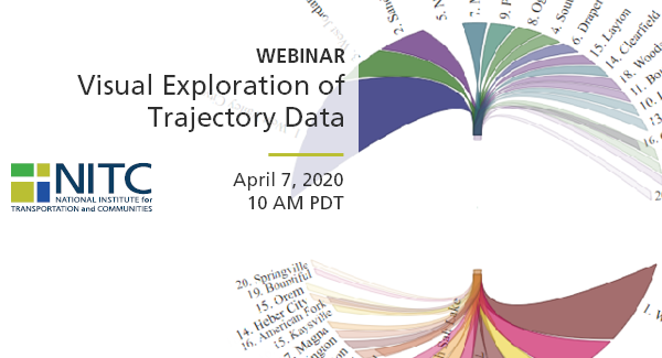
This webinar will demonstrate the tremendous value of GPS trajectory data in understanding statewide travel patterns and measuring performance. First, Dr. Markovic (U of Utah) will conduct visual exploration of GPS trajectories that capture about 3% of all the trips in Utah. He will briefly discuss the problem of scaling GPS trajectories to the population, and then focus on the use of scaled trajectories in computing origin-destination matrices, vehicle-hours delays, vehicle-miles traveled, and trip-based performance measures. Second, Dr. Franz (CATT Lab) will demonstrate a suite of visual analytics that enables transportation agencies to easily explore terabytes of GPS trajectory data. He will demonstrate different tools and share the experience of 5 state DOTs that are currently using CATT Lab's trajectory data suite.

KEY LEARNING OUTCOMES

  • Trajectory data represents the most complete vehicle-probe data and provides unprecedented opportunity for transportation system analysis.
  • Transportation agencies can easily leverage visual analytics to obtain insights in statewide traffic patterns and...
Read more

Pages