PRESENTATION ARCHIVE
OVERVIEW
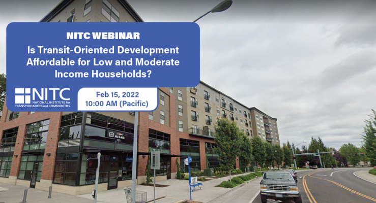
Transportation and land use planning, as a field, is shifting away from segregated uses connected by highways and streets to more compact, mixed-use developments connected by high-quality transit. This new paradigm has brought special attention to transit-oriented developments (TOD), which are sometimes touted as being among the most affordable, efficient places to live. But how affordable are they, and who has the power to effect change? This study examines housing costs for households living in TODs.
KEY LEARNING OUTCOMES
- Learn how many TODs there are currently in the U.S. and what methodology was used to identify them.
- Learn what share of housing in TODs is affordable, what are the relative shares of designated versus naturally occurring affordable units and whether the level of affordability is the same for families of different sizes.
- Learn ...